

Mapping Minto: A Community Partnership
A highlight of the second T3 Alaska Summer Program was a return trip to Minto, where students partnered once again with the Minto Village Council on a community mapping project. This ongoing collaboration began in 2024, when T3 students used drones to map a longstanding log jam that limited access to traditional lands and to document the village dump as leaders considered future expansion. Aerial imagery provided a broader perspective that helped the community better understand both challenges and opportunities for future planning.
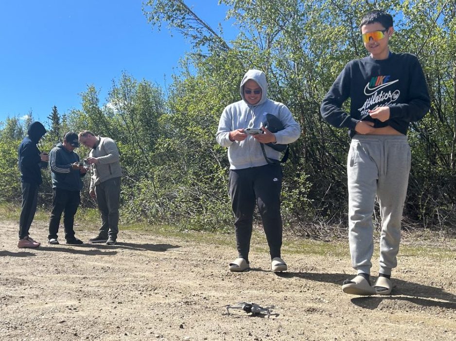
This year, after earning their FAA TRUST Licenses, students put their new skills to work by collecting aerial imagery to create a 3D map of the village and cemetery. The map will support future planning efforts as the community considers cemetery expansion, access needs, housing development, and other infrastructure projects. Having a comprehensive digital map of the village provides an important tool for local decision-making and long-term growth.
Projects like the one in Minto are at the heart of T3’s experiential learning approach. Students strengthened their drone operations, data collection, and digital mapping skills while contributing to a project with lasting value for the community. By connecting technical learning with real-world needs, participants gained confidence and experienced firsthand how emerging technologies can support the places they call home.
The 2026 T3 Summer Program was made possible with funding from the Office of Naval Research initiative, ACEP, the ARCTIC Program; the Alaska Department of Transportation and Facilities; LYSD and the Chugach Futures Grant and with support from AVCP.